Resources needed
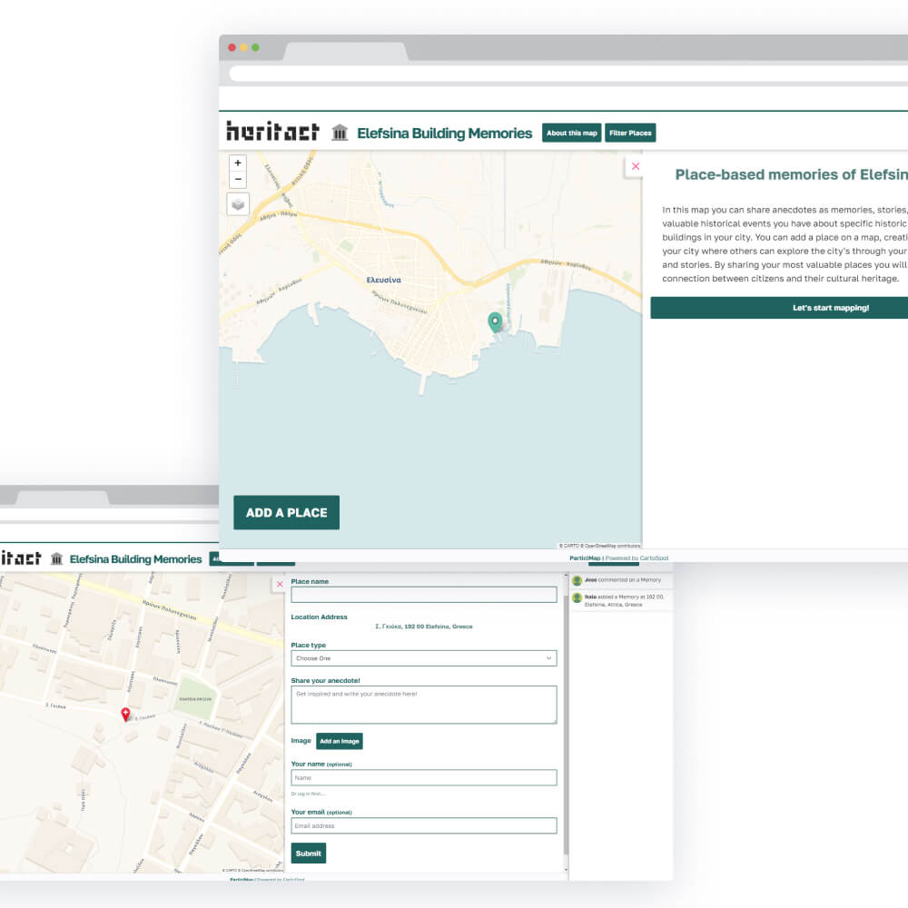
The tool operates on the UCD Spatial Dynamics Lab's server, requiring users to have a personal computer with internet access. For outdoor mapping, a mobile smartphone is recommended, emphasizing the importance of mobile technology. Consistent internet connectivity on mobile devices is crucial for on-the-go data collection and storage.
Time needed
The time required will depend on the number of questions in the survey and the type of activity planned. On average, users will need approximately 10 minutes to complete a geosurvey during in-person activities. This duration may vary for online campaigns.
People needed
The tool can be used idenpendently. In case of an in-person activity, a facilitator may be needed to support users with less experience with web-based tools.
Skills needed
Regarding user knowledge, there are no prerequisites, and familiarity with terms like NEB and SDG is not necessary for tool usage. Online documentation will be available in English, Greek, and Italian, covering topics such as finding mapping initiatives, subscribing to updates, creating place inputs, interacting with entries, building new maps, designing geo-surveys, and accessing geospatial data outputs.
Impact
The deployment of ParticiMap is expected to have a significant impact by gathering insights from community stakeholders to enhance urban planning and design. Is anticipated to result in informed and inclusive urban planning, heightened citizen engagement, and the revitalization of open spaces, contributing to vibrant and resilient communities.

